
Lêer:Africa-countries-eastern.png
Geen hoër resolusie is beskikbaar nie.
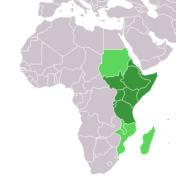
Africa-countries-eastern.png (360 × 392 piksels, lêergrootte: 10 KG, MIME-tipe: image/png)

|
File:Africa-countries-eastern.svg is a vector version of this file. It should be used in place of this PNG file when not inferior.
File:Africa-countries-eastern.png → File:Africa-countries-eastern.svg
For more information, see Help:SVG. |
 |
from en:Image:Africa-countries-eastern.png
This map was originally made by w:en:User:Joy on 01:28, 28 March 2004 who created it from the blank maps.

|
Toestemming word verleen tot die kopiëring, verspreiding en/of wysiging van hierdie dokument onder die voorwaardes van die GNU-lisensie vir vrye dokumentasie, weergawe 1.2 of enige latere weergawe uitgegee deur die Stigting vir Vrye Sagteware, sonder Invariante Dele, geen Voorbladtekste en geen Agterbladtekste. 'n Kopie van hierdie lisensie is ingesluit in die afdeling getiteld GNU Free Documentation License. |
| Hierdie lêer is gelisensieer onder die Creative Commons Erkenning-Insgelyks Deel 3.0 Onoorgedraagde lisensie. | ||
| ||
| This licensing tag was added to this file as part of the GFDL licensing update. |
Lêergeskiedenis
Klik op die datum/tyd om te sien hoe die lêer destyds gelyk het.
| Datum/Tyd | Duimnael | Dimensies | Gebruiker | Opmerking | |
|---|---|---|---|---|---|
| huidig | 19:08, 17 Maart 2018 | | 360 × 392 (10 KG) | Maphobbyist | Upload |
| 17:42, 13 Januarie 2014 |  | 360 × 392 (10 KG) | VVVF | See http://unstats.un.org/unsd/methods/m49/m49regin.htm | |
| 16:18, 13 Januarie 2014 |  | 360 × 392 (10 KG) | VVVF | See http://unstats.un.org/unsd/methods/m49/m49regin.htm | |
| 17:06, 9 Julie 2011 |  | 360 × 392 (13 KG) | Maphobbyist | South Sudan has become independent on July 9, 2011. Sudan and South Sudan are shown with the new international border between them. | |
| 21:34, 31 Maart 2011 |  | 360 × 392 (13 KG) | Hoshie | added Cabinda (Angola) and Montenengro to the map. | |
| 11:12, 5 Mei 2006 |  | 360 × 392 (4 KG) | Hautala | optimized with png | |
| 18:28, 29 April 2005 |  | 360 × 392 (13 KG) | ChongDae | from en:Image:Africa-countries-eastern.png {{GFDL}} Category:Map of Africa |
Lêergebruik
Die volgende bladsy gebruik dié lêer:
Globale lêergebruik
Die volgende ander wiki's gebruik hierdie lêer:
- Gebruik in ar.wikipedia.org
- Gebruik in azb.wikipedia.org
- Gebruik in az.wikipedia.org
- Gebruik in bg.wikipedia.org
- Gebruik in bm.wikipedia.org
- Gebruik in br.wikipedia.org
- Gebruik in cs.wikipedia.org
- Gebruik in cv.wikipedia.org
- Gebruik in en.wikipedia.org
- Gebruik in es.wikipedia.org
- Gebruik in eu.wikipedia.org
- Gebruik in fr.wikipedia.org
- Gebruik in he.wikipedia.org
- Gebruik in hy.wikipedia.org
- Gebruik in id.wikipedia.org
- Gebruik in incubator.wikimedia.org
- Gebruik in is.wikipedia.org
- Gebruik in it.wikipedia.org
- Gebruik in jv.wikipedia.org
- Gebruik in kaa.wikipedia.org
- Gebruik in kbd.wikipedia.org
- Gebruik in kg.wikipedia.org
Wys meer globale gebruik van die lêer.